A Different South Island Experience
Once a year we try to get away for a few days to explore a new part of New Zealand and this year we decided to mix it up and visit some places we’ve seen before as well as some that we’d never heard of before, much less seen.
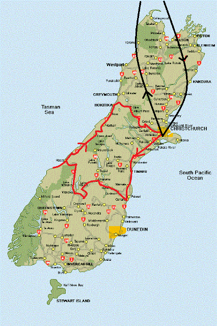
The plan was to fly in and out of Christchurch, pick up a car and head west. This was our route:
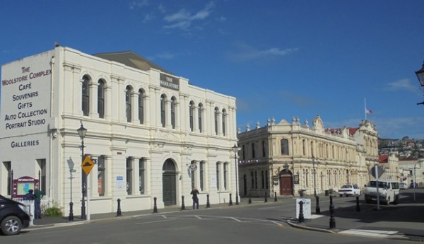
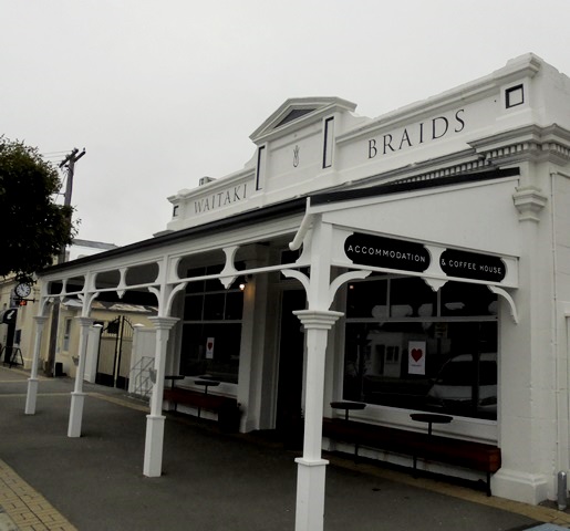
The plan was to spend most of the time on the west coast but we wanted to warm up by first visiting Oamaru, one of our favorite towns. In the late 1800s, Oamaru was one of the busiest ports in NZ but changing economic conditions have changed all that. Even so, today Oamaru is a thriving town of about 14,000 and they have preserved the old Victorian town on the waterfront. There are lots of interesting buildings and shops to explore.

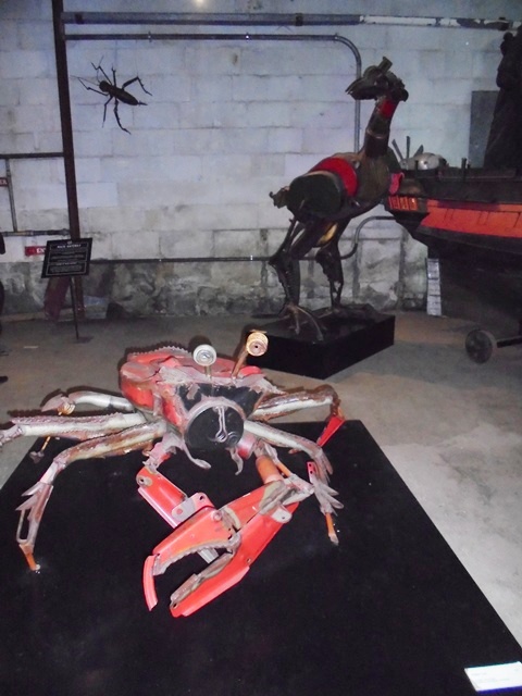
But one of the main reasons we wanted to stop in Oamaru was to visit a museum called Steampunk. Some very creative people looked around at all the rusty old equipment laying around from Oamaru’s boom days and decided to do something creative with it. A local artist did a lot of sculptures with old machine parts and some other creative types used old junk to create a museum that is truly unique and to some a little bit bizarre.
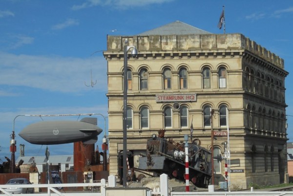
In addition to some sculptures that range from amusing to scary, there are interesting exhibits such as a dentist’s office with spanners and screwdrivers and power tools instead of dental instruments, an old pipe organ that makes unexpected sounds when you press the keys and a mirrored room that makes you think you are floating in space.

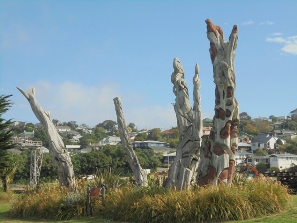
Oamaru also has a nice waterfront park with some interesting carvings.
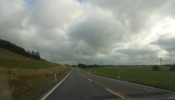
The next day we headed west, driving through Otago farm land.
All along the way there are some tiny old towns with interesting sights and quaint buildings.
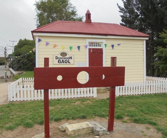
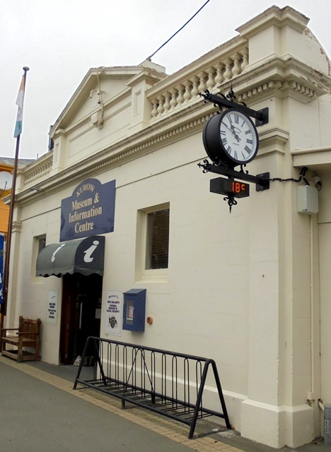
We stopped in Duntroon, population 100. In the 1800s, Duntroon thrived because it was a stop on the main railway. Today it is the home to the Vanished World Heritage Centre, a museum dedicated to the fossils and geography of the area. It is also a stop on the Alps to Ocean Cycle Trail, one of the tracks on the NZ National Cycle Trail, a network of bicycle tracks around the country.

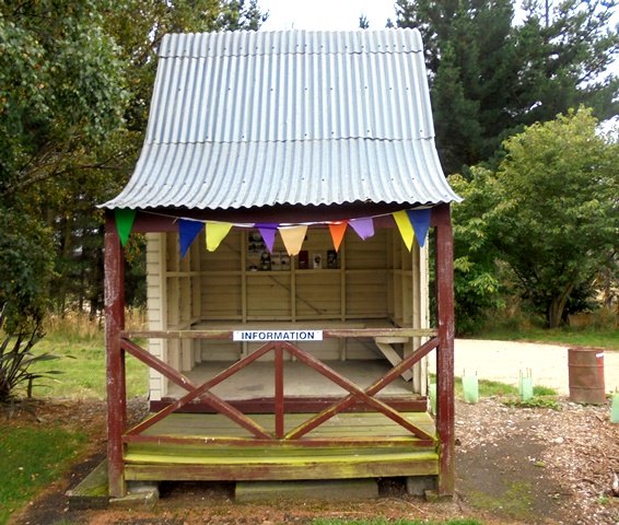
Here is the Duntroon Information Centre:
They also have some old restored buildings:


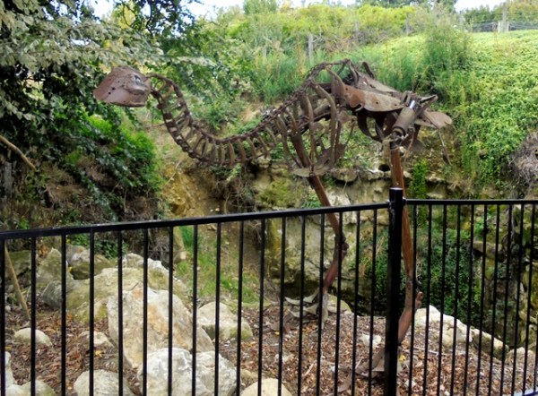
And some sculptures made from old industrial and farming equipment:
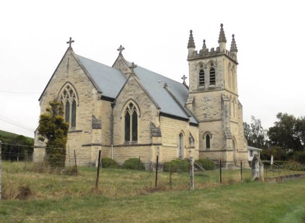
And a cool church!
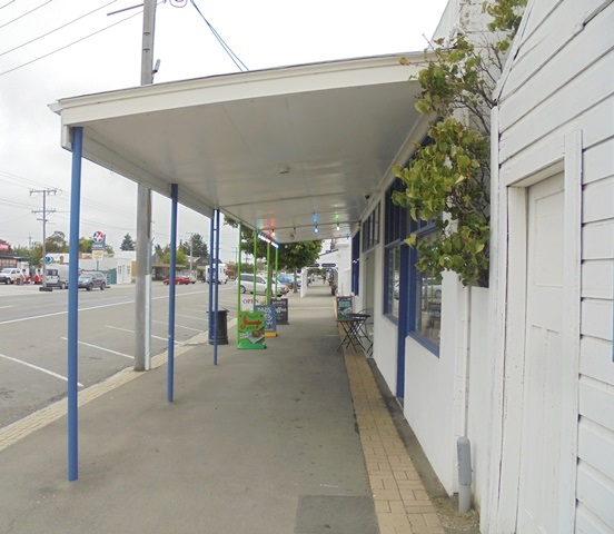
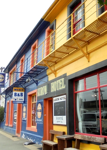
Another attractive small town is Kurow, with some interesting old buildings.
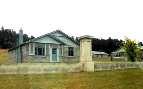
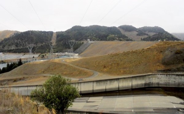
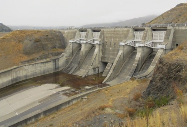
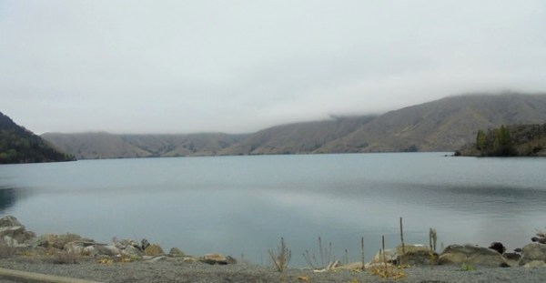
Most of the electricity in NZ is produced by hydro power and a lot comes from two dams, Aviemore and Benmore, which have built on the Waitaki River. You can drive across the top of both dams and enjoy views of the lakes created by them. On the drive up, you pass the houses that were built for the workers who built the dams in the 1950s and 60s.
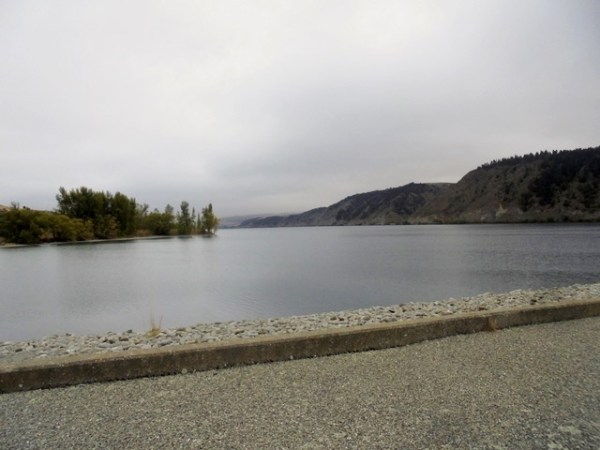
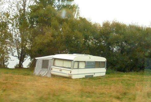
There are also semi-permanent vacation sites for people who come up to fish and boat on the lakes.
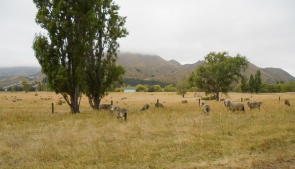
On the way back to the main road we saw some truly free range sheep!
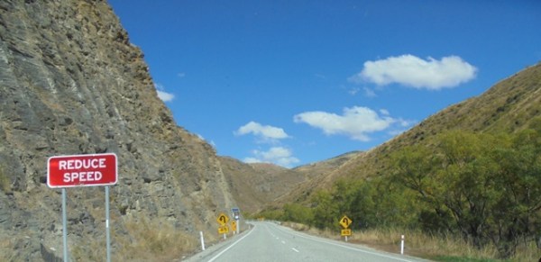
We continued west to the foothills of the Southern Alps and crossed over through the Haast Pass.
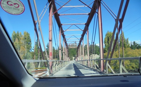
There isn’t a lot of traffic outside of the main towns of NZ, so a lot of the bridges are one way. Signs tell you who has the right of way.
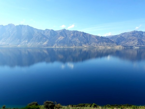
Our next destination was Lake Wanaka. The lake was formed by glaciers from the Southern Alps and it’s long and narrow—42 km by 10 km. It is a beautiful and peaceful place, outside of the town and Lake Wanaka which was become a booming tourist town. We spent a night at Glendhu Bay enjoying lake views.
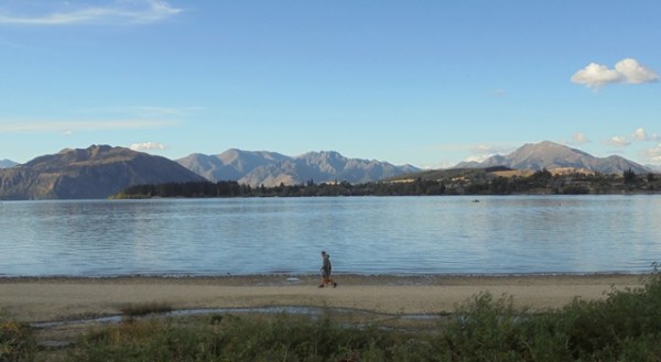


The next day we drove up along the west side of the lake and generally felt that we had the place to ourselves.
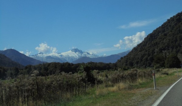
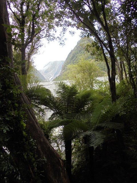
As you go farther north you can start to see the peaks of the Southern Alps and enter what is called Glacier Country. There are several glaciers that come down from the Alps and two of them, Fox and Franz Joseph Glaciers are the only glaciers in the world that terminate in temperate rain forests and you can walk up to the face of the glacier. It’s getting harder to do all the time as the glaciers are receding but you still get a lot of nice views.

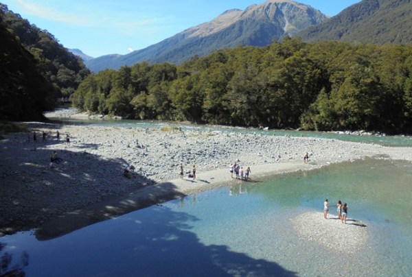
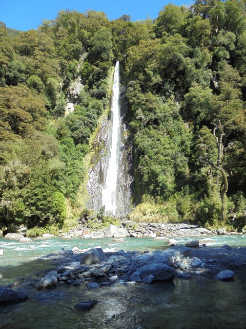
There are also a number of interesting geological features caused by the glaciers and lots of streams coming down from the mountains. One area is called the Blue Pools which are two deep pools, blue, of course, formed by glaciers on the Makarora River.
You have to cross two scary bridges to see the pools.
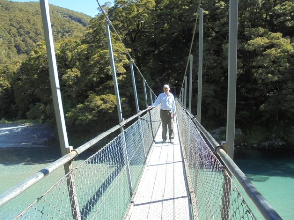
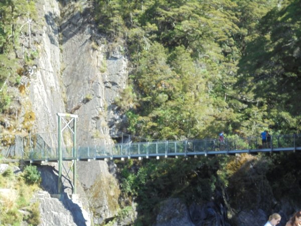
But it’s worth it.

If you are very brave, you can also swim in the icy cold river.
We crossed over another one lane bridge as we headed to our first destination on the west coast—Haast.

You get some nice views of the Alps and alpine streams on the drive.
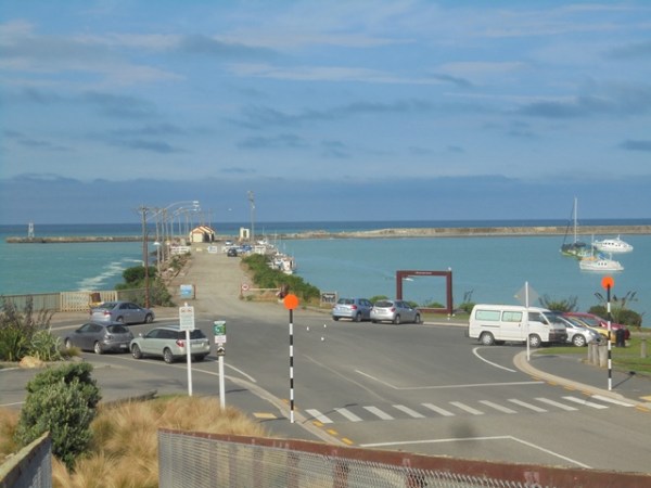
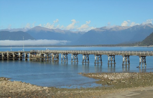
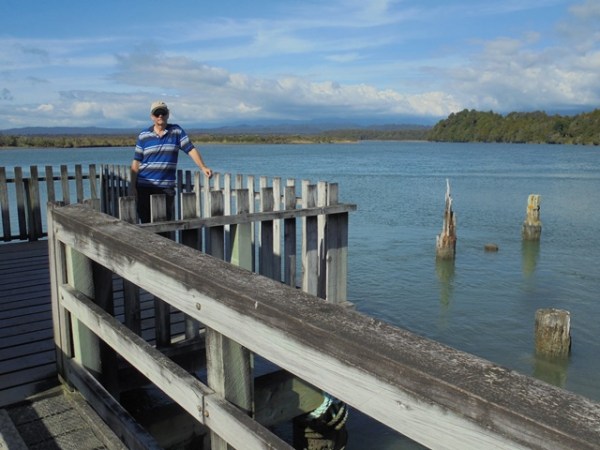
We were staying at Haast Beach and just down the road is Jackson Bay, which is basically as far as the road goes. Needless to say, it is very quiet and peaceful. This is the Jackson Bay pier.


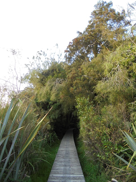
In addition to scenic views and interesting people, one of the goals of the trip was to enjoy native New Zealand forests and wetlands and we went for lots of walks. This is the Hapuka Wetland walk in Haast Beach.


This is the Ship Creek wetland and ocean walk as we headed north along the coast.

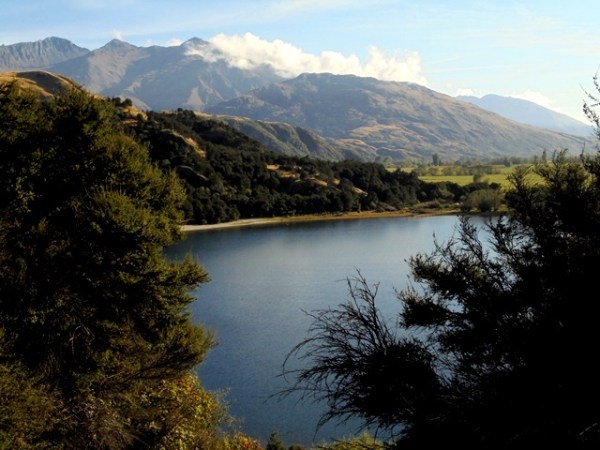
We continued up the coast toward the glaciers. This is Lake Parenga, which was formed by a glacier.

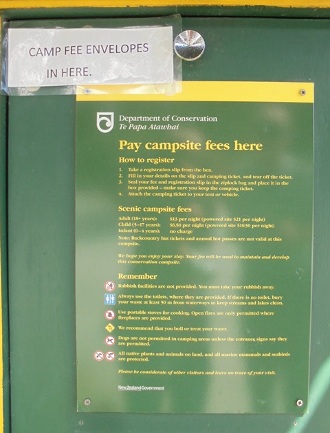
In order to camp at Lake Parenga you don’t need a reservation. You just show up and put your money in the envelope.
We continued on to Fox Glacier. The best views are from far away because a washout in early March this year destroyed the road leading up to the glacier.
You take another one way bridge to get to Fox Glacier Village.

Although you can’t get to the glacier on foot, you can walk up to where the road washed out and it’s a nice walk through the bush.

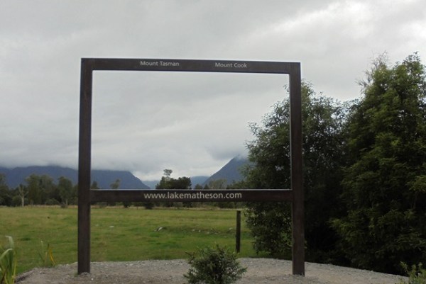
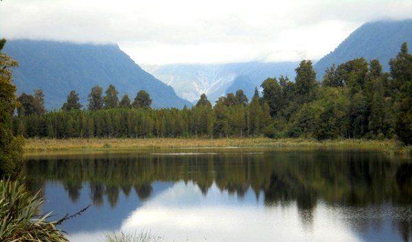
One of the best places to see Fox Glacier now is from Lake Matheson—when it isn’t cloudy! The still water of the lake reflects the mountains and provides some amazing views.
You can walk all the way around the lake on a nice walking track. We saw this tree that looks like a lion!

We spent two relaxing nights in Fox Glacier village and the second morning the clouds were gone and we got some nice views of the glacier and the surrounding mountains.

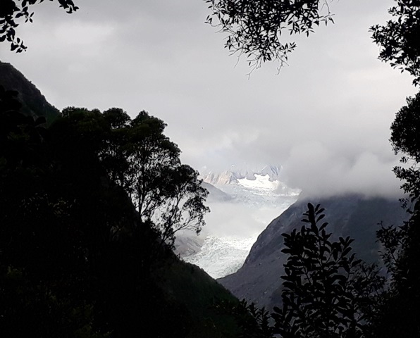
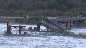
We then headed to Franz Joseph Glacier. It only took us about half an hour then, but today it is taking about 12 hours. That’s because after we left a serious storm came through and washed out the bridge between Fox and Franz Joseph. As the glacier melts it feeds the Waiho River and they got approximately 500 ml of rain (about 30 inches) in 24 hours. Apparently the volume of water coming down the river brought down big rocks and chunks of ice from the glacier which damaged the bridge supports.
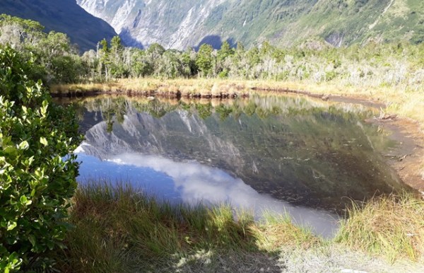
When we were there, there were several walks that provided nice views. This is Peter’s Pool:
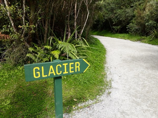
You can walk up to the face to the glacier via the Waiho valley and ten years ago we actually did that. However the glacier has receded so far that we didn’t feel like the walk and instead did a few other walks in the area.

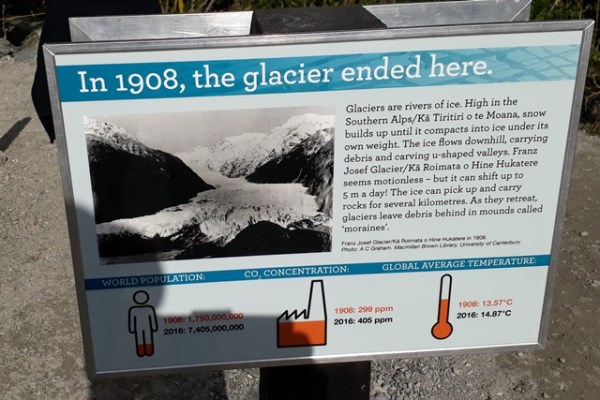
Everywhere there are signs showing where the glacier ended in previous years and you can see how much it’s gone back:
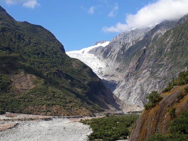
And this is a shot of the Waiho valley—you can see how far the glacier has receded. It’s hard to imagine enough water coming down to wash out a concrete and steel bridge.
But there was a lot of room for water to collect from.

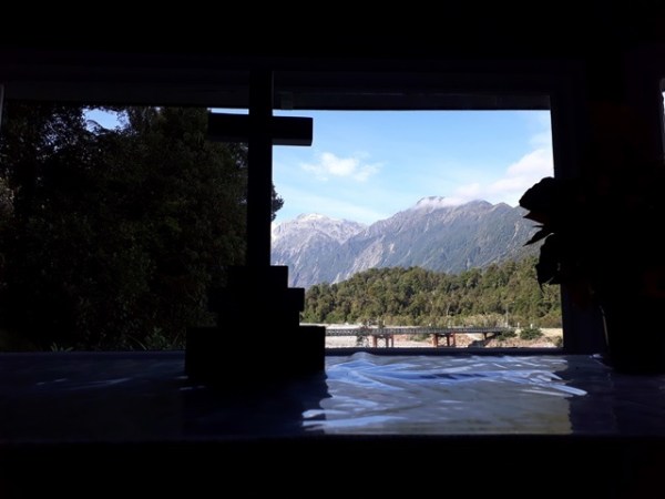
This is a church in Franz Joseph Village and a view from the window behind the altar. The bridge in the photo is the one that was washed away. No comment on what people in church might have been thinking at that moment.

Here is the bridge after the storm from a TVNZ picture:
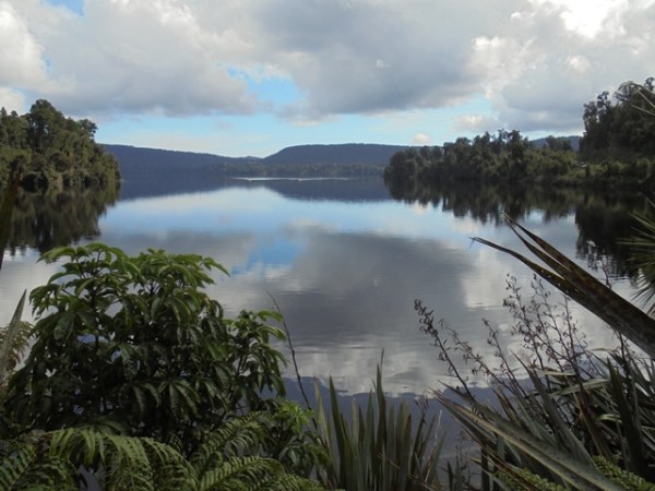
We headed out of Franz Joseph, blissfully unaware of what was coming. We stopped at Lake Mapourika to enjoy the view.
We then continued on up to the place we would spend the next two days—a beach settlement named Okarito, population 25.
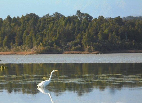
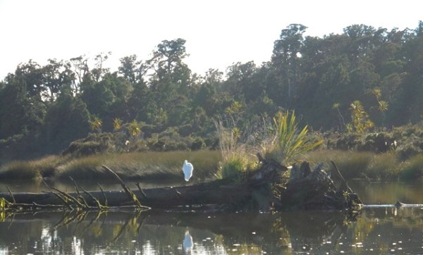
Okarito is indescribably beautiful and peaceful. It is a sandspit on a big estuary which is home to lots of bird life. It is the only spot in NZ where white cranes nest and although we were too late to see the huge breeding population, there were still a few around. We spent the time in Okarito going for walks and also taking a boat tour on the estuary.

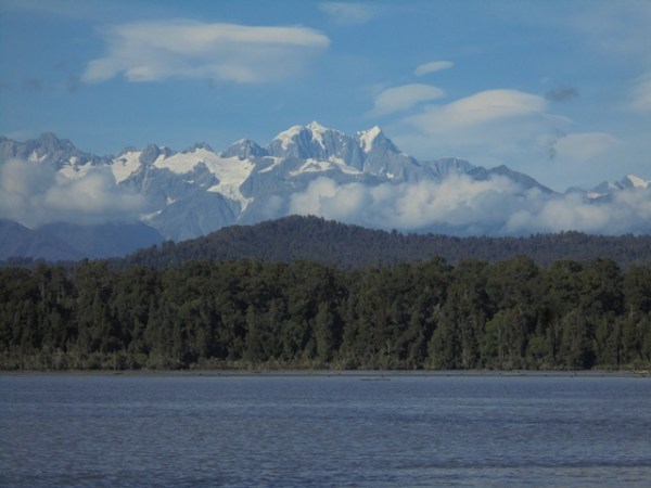
We got some nice views of the Southern Alps and Aoraki Mt Cook from the estuary.


And saw some cranes.
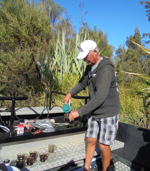
And even got a snack of tea and home made biscuits by our guide.
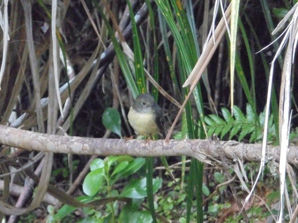
We went for a few walks and saw friendly New Zealand robins and tomtits.
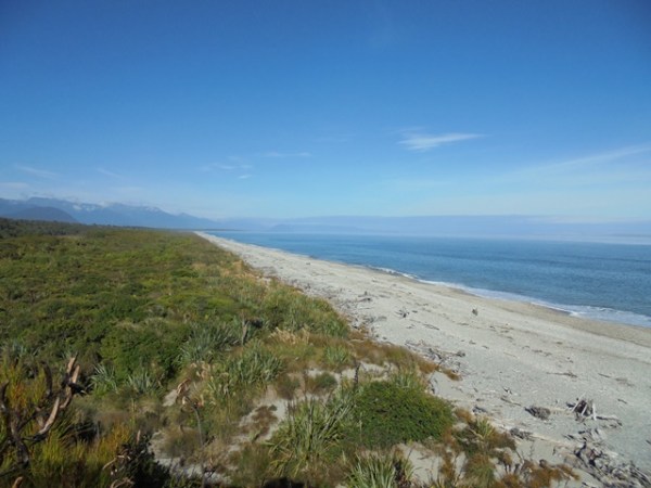
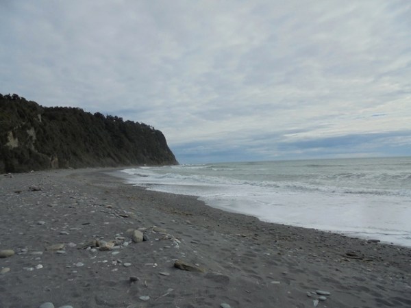
We also explored the beach which we had to ourselves.
When we left Okarito the next morning, the rain was already starting.
We had planned some walks around Ross, where we would be spending the night but because of the wet weather drove a little further to Hokitika, a really nice town on the coast famous for its jade stone and the Wild Foods Festival.


We spent most of the day exploring Hokitika and then headed back to Ross. It was a little worrisome because there was already a sign up saying that there was flooding farther south, which is where the storm was coming from.
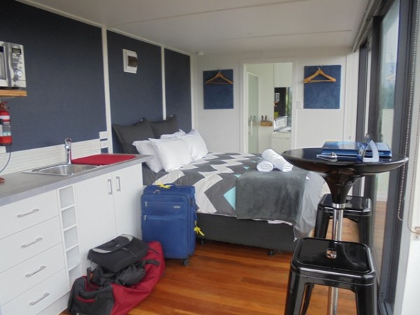
In Ross we stayed at a beautiful place right on the beach. It was an old shipping container which had been converted into a self-contained studio unit. The wind and the rain made it very noisy and a little scary!

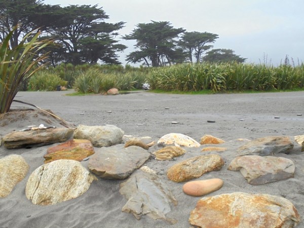
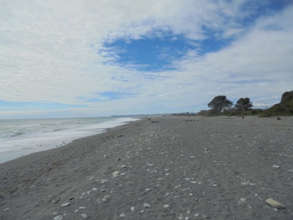
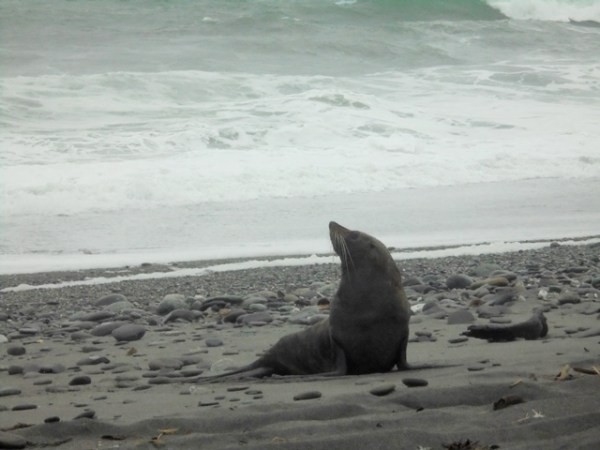
We went for a very wet walk on the beach and the only other thing we saw was a seal.

We woke up the next morning and heard the news and it wasn’t good. The road south of us to the glaciers was closed by several slips and there were warnings that the mountain pass road we planned to take back to Christchurch was getting heavy rain and might close. We decided to make an early start out of Ross, gassed up in Hokitika and talked to a truck driver who told us he’d just come up that way and the road was fine so we decided to head that way. The alternate route would have added two hours to our drive.
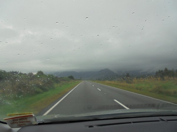
It was a fairly wild trip from Hokitika to the pass with lots of wind and rain.

This is at the pass, you can see the amount of water coming off the rain guttering over the road.

Once we got through the pass the weather cleared and we had a leisurely drive back to Christchurch.

Because we’d given ourselves extra time in case of problems, we scouted around for things to do in Christchurch and found the NZ Air Force Museum. The high point of the NZ Air Force was during WWII and most of the exhibits relate to that period. NZ airmen were involved in the Dam Buster raid and also the Great Escape and they have interesting exhibits about those events. There are also lots of other historical planes and exhibits.
The most fun thing for me was doing two combat missions in a Mosquito simulator. The Mosquito was a British bomber/reconnaissance plane. On one mission you have to blow up a prison and on the other you have to sink enemy ships.


Check this out! High score!

The next morning we flew back to Auckland after a fun, relaxing and exciting trip!